




Outer Hebrides
78 islands · Scotland
Island Passport
How many of the 78 islands in Outer Hebrides can you collect?
0 of them collected by explorers so far
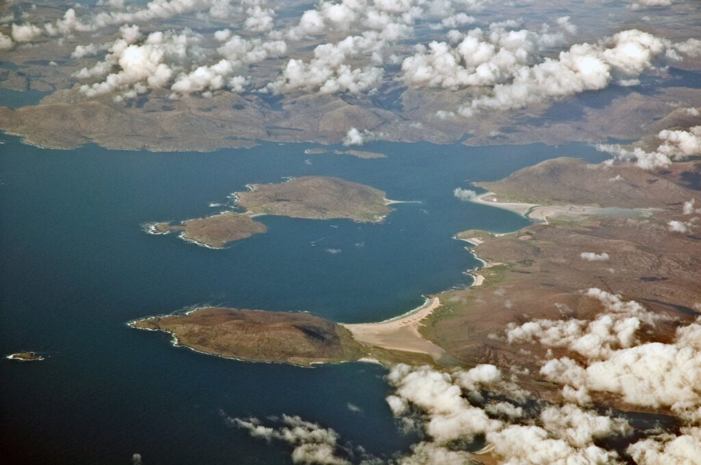
The Outer Hebrides form a long, low-lying chain of islands off Scotland’s north-west coast, separated from the mainland and the Inner Hebrides by the often treacherous waters of the Minch.

The chain runs from the Butt of Lewis in the north down through Lewis and Harris, technically a single landmass but traditionally divided into the flatter, more populous Lewis and the mountainous, more dramatically scenic Harris, continuing south through the Uists and Barra to Vatersay and Mingulay at the archipelago’s southern tip, a stretch of over 130 miles making the Outer Hebrides one of the longest continuous island chains anywhere in Europe.
Lewis and Harris alone is home to the Callanish Stones, one of the most important prehistoric stone circles in Britain, predating Stonehenge by several centuries, as well as the famous Harris Tweed industry, whose distinctive hand-woven cloth remains legally protected by Act of Parliament and produced only on these islands using traditional methods largely unchanged for generations. Harris in particular is renowned for its beaches, including Luskentyre, regularly ranked among the best beaches in the world despite the island’s northerly latitude, their white sand and turquoise water a startling contrast to the rugged mountains behind, a combination that has made Harris an increasingly popular destination for photographers and filmmakers in recent years.
Countless smaller satellite islands surround the main chain, including Great Bernera, connected to mainland Lewis by a bridge, Scalpay, similarly linked to Harris, Taransay, made famous by the BBC television series Castaway 2000, which placed a group of volunteers on the then-uninhabited island for a year, and the remote skerry of Eilean Mhealasta.
Wildlife
The Uists and Barra, further south, are connected to one another by a remarkable series of causeways, allowing continuous road travel across several originally separate islands, while Barra itself, reached by ferry or by a genuinely unique scheduled flight landing directly on the tidal beach at Traigh Mhòr, remains home to Kisimul Castle, seat of Clan MacNeil, standing on its own tiny island in Castlebay. The islands’ machair, a rare and internationally important habitat of wildflower-rich grassland formed on wind-blown shell sand, supports an exceptional density of breeding wading birds and rare plant species found in few other places on Earth.
Visiting
Stornoway, Lewis’s main town, serves as the administrative and commercial centre for the whole of the Outer Hebrides, connected by ferry to Ullapool on the Scottish mainland, and this combination of ancient archaeology, world-class beaches, distinctive textile heritage, and a chain of causeway-linked southern islands makes the Outer Hebrides one of the most culturally rich and geographically distinctive island groups anywhere in Scotland.
Landscape
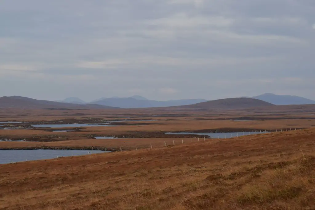
The underlying rock of much of the archipelago, particularly across Lewis, is Lewisian gneiss, among the oldest rock in Europe, formed roughly three billion years ago and giving the landscape its characteristically ancient, weathered, loch-strewn appearance, quite different from the younger sandstone and basalt found across much of the rest of Scotland. This deep geological age is matched by an equally long history of human settlement, with evidence of habitation stretching back several thousand years alongside the islands’ many prehistoric structures.
More about Outer Hebrides
Traditional island life is preserved at the Gearrannan Blackhouse Village on Lewis, a row of restored thatched blackhouses, low, thick-walled dwellings once shared by families and livestock alike, now offering visitors a tangible sense of how crofting communities lived here well into the twentieth century. Fishing, too, shaped the islands profoundly: Stornoway grew into a major herring port during the nineteenth and early twentieth centuries, its harbour once crowded with fishing boats and seasonal “herring girls” who followed the fleets down the British coast gutting and packing the catch, an industry that, though much diminished today, remains an important part of the Outer Hebrides’ social memory and maritime identity, still reflected in local museums, place names, and the working boats occasionally seen restored and sailing along the coast today.
Weaving remains just as central to island identity as fishing once was, with genuine Harris Tweed still required by law to be spun, dyed, and handwoven entirely within the Outer Hebrides by islanders working, in many cases, from small looms set up in sheds and outbuildings attached to their own homes, a genuinely cottage-based industry rare in modern manufacturing anywhere in Britain.
The biggest islands in Outer Hebrides
By area (acres)
- 1 Lewis and Harris 515,461
- 2 South Uist 79,138
- 3 North Uist 74,885
- 4 Benbecula 20,337
- 5 Barra 14,826
- 6 Great Bernera 5,244
- 7 Taransay 3,645
- 8 Scarp 2,591
- 9 Berneray 2,471
- 10 Vatersay 2,372
By population (people)
- 1 Lewis and Harris 21,031
- 2 South Uist 1,754
- 3 Benbecula 1,303
- 4 North Uist 1,254
- 5 Barra 1,100
- 6 Scalpay 291
- 7 Great Bernera 252
- 8 Grimsay (North Uist) 169
- 9 Eriskay 143
- 10 Berneray 138
Explore Outer Hebrides
2 areas-
Monach Islands
3 islands
The Monach Islands, also known by their older Norse-derived name of Heisker, lie roughly eight miles out into…
-
Uists and Barra
51 islands
The Uists and Barra form the southern part of the Outer Hebrides of Scotland, a chain of low-lying,…


More islands in Outer Hebrides
 Bayble Island
Saltwater
 Bearasaigh
Saltwater
 Campaigh
Saltwater
 Cealasaigh
Saltwater
 Eilean Chaluim Chille
Tidal
 Eilean Chearstaidh
Saltwater
 Eilean Liubhaird
Saltwater
 Eilean Mhealasta
Saltwater
 Ensay
Saltwater
 Flodaigh (Outer Loch Roag)
Saltwater
 Fuaigh Mòr
Saltwater
 Great Bernera
Saltwater
Lewis and Harris
Saltwater
 Little Bernera
Saltwater
 Pabaigh Mòr
Saltwater
 Rainish Eilean Mòr
Saltwater
 Scalpay
Saltwater
 Scarp
Saltwater
 Seaforth Island
Saltwater
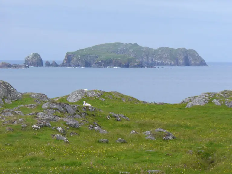 Seanna Chnoc
Saltwater
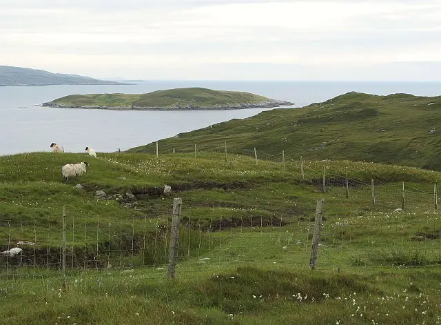 Soay Mòr
Saltwater
 Stockinish
Saltwater
 Taransay
Saltwater
 Vacsay
Saltwater
