


South Coast
3 islands · Scotland
Island Passport
How many of the 3 islands in South Coast can you collect?
0 of them collected by explorers so far
The Solway Firth forms part of the border between England and Scotland, a wide, shallow tidal estuary separating Cumbria from Dumfries and Galloway on the Irish Sea’s northern shore.
Known for its vast expanses of sand and mudflat exposed at low tide, fast-moving tidal bores, and treacherous currents that have claimed lives for centuries, a hazard so well established that local guides have traditionally been employed to lead travellers safely across its sands, much as similar guides continue to operate across Morecambe Bay further south, the firth’s coastline holds a scatter of small tidal and part-tidal islands.
History
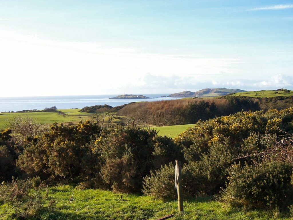
Little Ross, off Kirkcudbright, carries a lighthouse marking the entrance to the town’s harbour, built in 1843 by the engineer Alan Stevenson, a member of the celebrated Stevenson lighthouse-building dynasty whose family designed and built dozens of lighthouses around the Scottish coast over four generations, and the site of a notorious 1960 murder in which the lighthouse keeper was killed by his assistant, a crime that remains one of the more infamous episodes in Scottish lighthouse history.
Hestan Island sits at the mouth of the River Urr and is said to have been a haunt of smugglers in the 18th century, when this remote stretch of coast, far from the reach of customs officials, offered ideal conditions for landing contraband goods including brandy, tea, and tobacco smuggled from continental Europe and the Isle of Man, a trade that flourished across much of the Solway coastline during this period of high import duties.
Wildlife
Rough Island, near Rockcliffe, is now a bird sanctuary managed by the National Trust for Scotland, accessible on foot across the sands at low tide, a reminder that, on the Solway, the boundary between island and mainland shifts with every tide, its saltmarsh and rocky shoreline providing valuable habitat for breeding oystercatchers and other coastal birds within a landscape otherwise dominated by the firth’s vast, ever-shifting sandbanks.

More about South Coast
The Solway’s extreme tidal range and notoriously fast-advancing tide, said locally to move “faster than a galloping horse” across the flat sands, has shaped both the region’s maritime folklore and its practical approach to coastal safety, with modern visitors still warned in the strongest terms against attempting crossings without proper local knowledge or guidance. This combination of dramatic tidal geography, a genuine smuggling history, and small but ecologically valuable tidal islands makes the Solway Firth one of the more understated but historically rich stretches of coastline along the Scotland-England border.
Just inland from the firth, the Wildfowl & Wetlands Trust reserve at Caerlaverock has become one of Britain’s most important sites for wintering wildfowl, hosting virtually the entire Svalbard population of barnacle geese, which arrive each autumn after a remarkable migration of well over a thousand miles from their Arctic breeding grounds and spend the winter grazing the reserve’s saltmarsh merse before departing again each spring. The scale of this annual gathering, sometimes numbering tens of thousands of birds, has made Caerlaverock one of the most celebrated wildlife-watching destinations anywhere on the Solway coast.
Landscape
The Solway’s English shore also marks the western end of the Roman frontier system: although Hadrian’s Wall itself terminates at Bowness-on-Solway, the Romans continued their line of defence some distance further down the Cumbrian coast with a series of milefortlets and watchtowers, built to guard against seaborne raids on a frontier that could otherwise easily have been outflanked along the shore. Traces of this coastal extension, less visited than the Wall’s more famous inland sections, still survive as low earthworks scattered along the Solway shoreline, a reminder that the firth’s strategic importance as a frontier zone, straddling two nations even today, is nothing new and stretches back very nearly two thousand years. The Solway’s modern border, following the line of the firth itself out into the Irish Sea, continues this long history of the water acting as a boundary rather than simply a barrier, with communities on both the English and Scottish shores sharing close economic and family ties despite the formal national line running between them.
The biggest islands in South Coast
By area (acres)
- 1 Hestan Island 41
- 2 Little Ross 30
- 3 Rough Island 21
Every island in South Coast
 Island No.
603
Not yet collected
Tidal
Hestan Island
South Coast
Hestan Island is a small coastal island at the southern foot of the River Urr estuary in the Solway Firth, within the…
Island No.
808
Not yet collected
Tidal
Little Ross
South Coast
Little Ross is a 29-acre island with a lighthouse on the Solway Coast, south of the town of Kirkcudbright in Galloway, Scotland,…
Island No.
618
Not yet collected
Tidal
Rough Island
South Coast
Rough Island, a name also used as a translation of the common Scottish island name "Garbh Eilean", is a 20-acre uninhabited tidal…
