
Bridgemarsh Island
Island Passport
Collect Bridgemarsh Island
Be the first to collect it
Tidal island. Stamps are never worth a risky crossing. Check official safe crossing times and local signs before walking out.
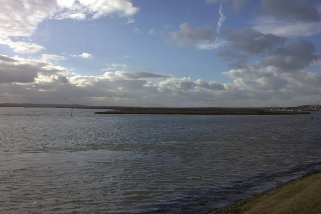
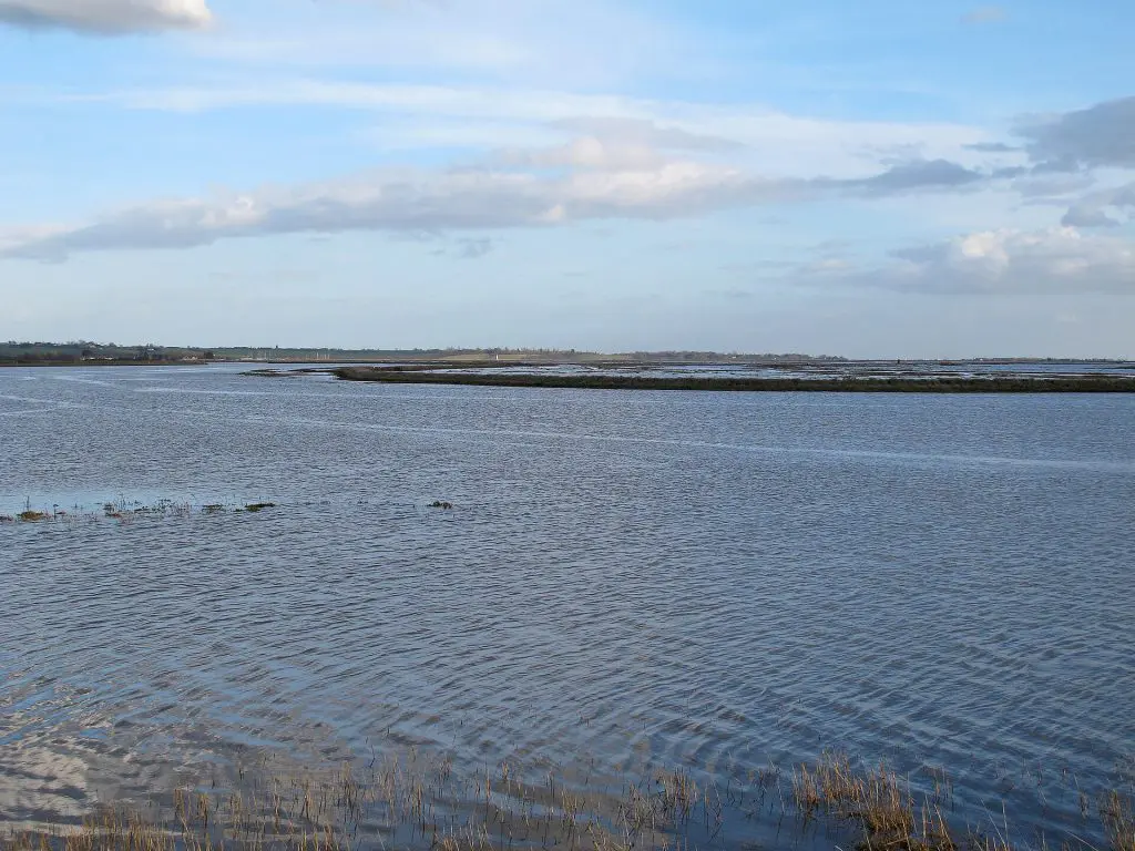
Bridgemarsh Island lies in the tidal River Crouch in Essex, three miles upstream from Burnham-on-Crouch. Once farmed and home to a brickworks, it was abandoned after the great flood of 1953 and is now a wild island of saltmarsh.
Landscape

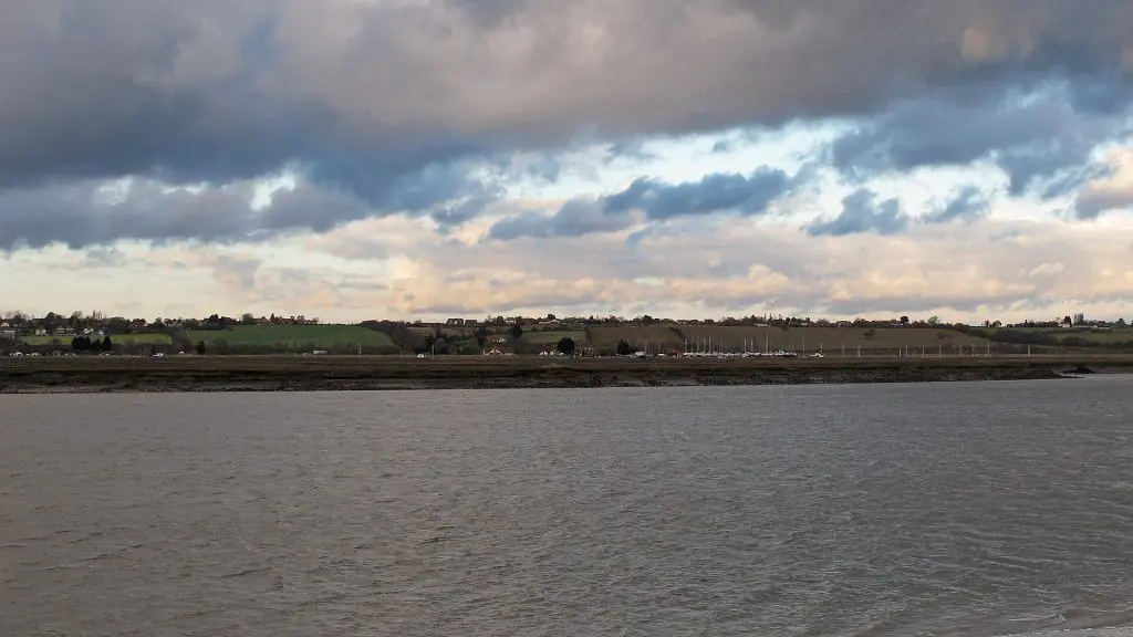
The main channel of the Crouch runs south of the island, between it and Canewdon, while Bridgemarsh and Althorne Creeks separate it from the mainland to the north. The tall chimney of the old brickworks still stands among the marsh. The Essex coast is the most indented in England, a long fringe of estuaries, creeks, saltmarsh and low islands, many of them reclaimed with sea walls centuries ago and some since returned to the tide.
History
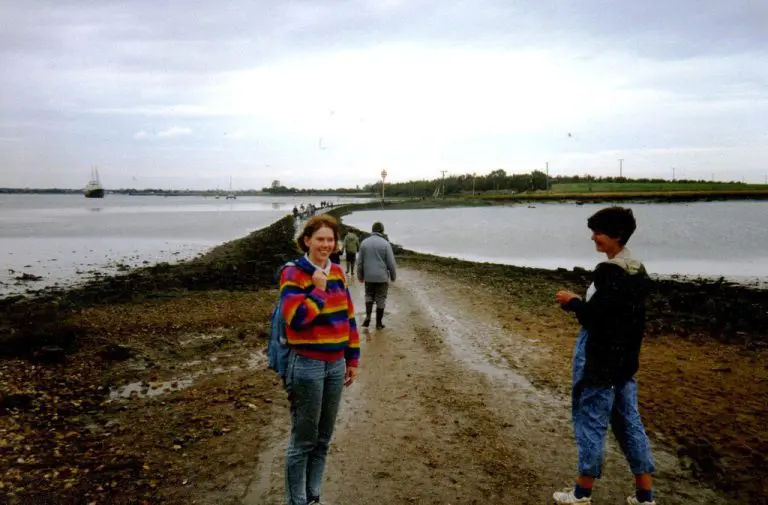
After a flood in 1736 the island was enclosed by a sea wall and a causeway was built, usable at low tide. Farming was supplemented by digging clay for bricks, and a tramway linked the brickworks to a quay used by Thames sailing barges. The sea wall was never well maintained, and the 1953 flood ended regular life on the island. It is owned by the Bridgemarsh Island Trust and left to wildlife.
After a flood in 1736 the island was enclosed by a sea wall and a causeway was built, usable at low tide.
Visiting
There is no public access to Bridgemarsh Island. It can be seen from the sea wall paths around Althorne and from boats on the Crouch. You can collect Bridgemarsh Island as a sighting in your Island Passport.
Wildlife and area
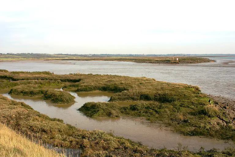
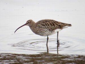
The Essex estuaries hold huge numbers of wintering brent geese, dunlin, black-tailed godwits, grey plovers and curlews, and redshanks, oystercatchers and shelducks nest on the marshes. Nearby islands include Wallasea Island, Northey Island and Potton Island.
Tides
Now
—
Next high water
—
Next low water
—
Not for crossing. These are modelled tide heights, not safe crossing times. Tidal causeways and sands can flood quickly: always check the official safe crossing times and local signs before walking out.
Heights in metres relative to mean sea level; times are UK time. Not for navigation. Tide model: Open-Meteo (CC BY 4.0).
How to get to Bridgemarsh Island
You can reach Bridgemarsh Island on foot.
On foot
You can walk to Bridgemarsh Island at low tide. The way across floods quickly as the tide turns: check the safe crossing times and local signs, and never cross on a rising tide.
Plan your trip
Timetables change, so always check with the operator before you travel. We may earn a commission if you book through some of these links, at no extra cost to you.
Wildlife
8 species recorded on the island
Highlights


All wildlife
Loading all 8 species…
Nothing on the list is usually seen this month.
Recordings from Wikimedia Commons, under Creative Commons licences; hover a Listen button for the recordist. Sightings are records shared with GBIF since 2000.
Watching wildlife responsibly. Keep your distance from seals, seabird colonies and cetaceans, stay quiet, and never feed or chase wildlife. See the WiSe Scheme guidance for watching marine wildlife.