



Omey Island
Island Passport
Collect Omey Island
Be the first to collect it
Tidal island. Stamps are never worth a risky crossing. Check official safe crossing times and local signs before walking out.
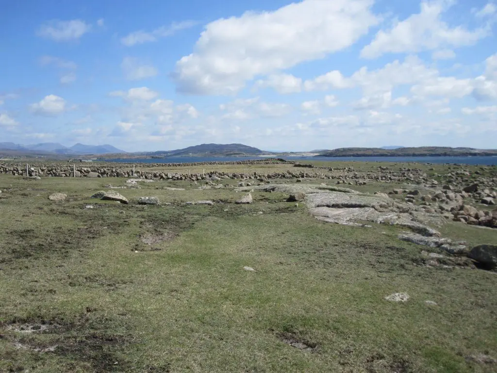
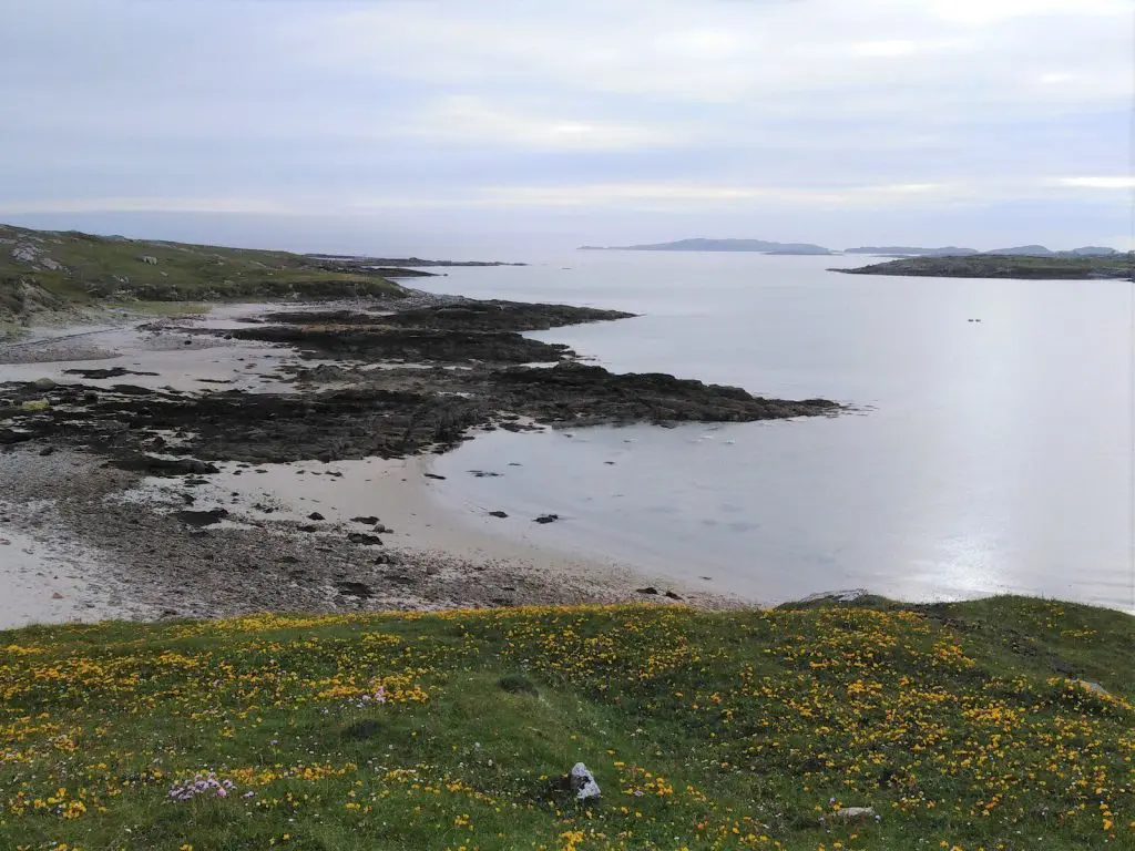
Omey Island, a tidal island near Claddaghduff on the western edge of Connemara in County Galway, is almost invisible from the mainland until a wide, arrow-marked sandy strand emerges at low tide, allowing visitors to drive or walk across; at high water the crossing floods deep enough to submerge a car entirely.
History
The island’s Irish name, Iomaí, meaning “resting place,” derives from Iomaidh Feichín, “Feichín’s bed or seat,” honouring the 6th-century saint traditionally credited with founding a monastery and settlement there.
Archaeological excavations led by University College Dublin in the early-to-mid-1990s uncovered one of the very few known burials of a woman within an early medieval monastic burial ground anywhere in Ireland, part of a site believed to date from the early 6th century. St Feichin’s holy well still stands near the island’s western edge, close to the ruins of a later medieval parish church that lay buried under centuries of drifting sand until 1981, when the local parish priest and volunteers dug the site free by hand.

Omey’s more recent history has been shaped by successive waves of Anglo-Norman and colonial settlement, from the O’Tooles of Leinster in the early 1500s to the Browns and D’Arcys following the Cromwellian settlements, and later the Martins of Ballynahinch; the Church of Ireland bishop John MacNeice, notable for his opposition to the Ulster Covenant, was born and raised on the island. Victorian travel writers described Omey in stark terms, noting its thin covering of vegetation and sandy soil so exposed to Atlantic winds that, as one 19th-century visitor recorded a local islander explaining, “if ye break the shkin of ‘um… the wind blows the sand away and leaves your pitaties bare” — a vivid account of the precarious farming life once carried on across this small, wind-battered tidal island.
Tides
Now
—
Next high water
—
Next low water
—
Not for crossing. These are modelled tide heights, not safe crossing times. Tidal causeways and sands can flood quickly: always check the official safe crossing times and local signs before walking out.
Heights in metres relative to mean sea level; times are UK time. Not for navigation. Tide model: Open-Meteo (CC BY 4.0).
How to get to Omey Island
You can reach Omey Island on foot.
On foot
You can walk to Omey Island at low tide. The way across floods quickly as the tide turns: check the safe crossing times and local signs, and never cross on a rising tide.
Plan your trip
Timetables change, so always check with the operator before you travel. We may earn a commission if you book through some of these links, at no extra cost to you.
Wildlife
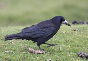
68 species recorded on the island
Highlights



All wildlife
Loading all 68 species…
Nothing on the list is usually seen this month.
Recordings from Wikimedia Commons, under Creative Commons licences; hover a Listen button for the recordist. Sightings are records shared with GBIF since 2000.
Watching wildlife responsibly. Keep your distance from seals, seabird colonies and cetaceans, stay quiet, and never feed or chase wildlife. See the NPWS Code of Conduct for Responsible Marine Wildlife Watching.


