

Andersey Island
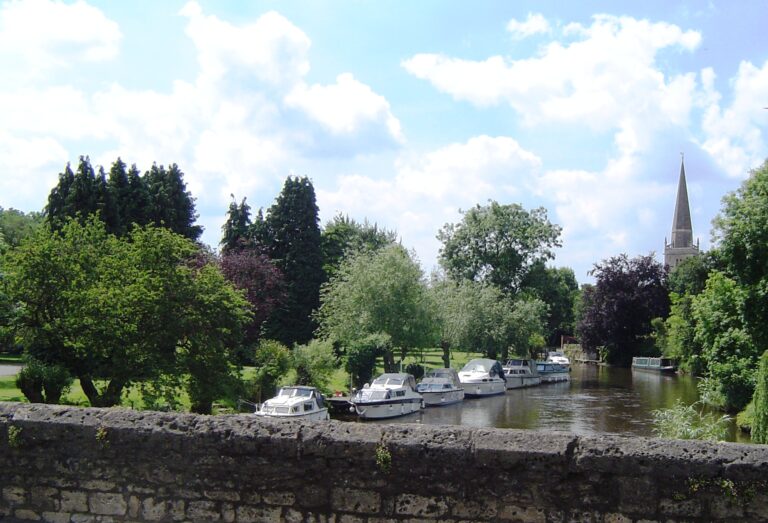
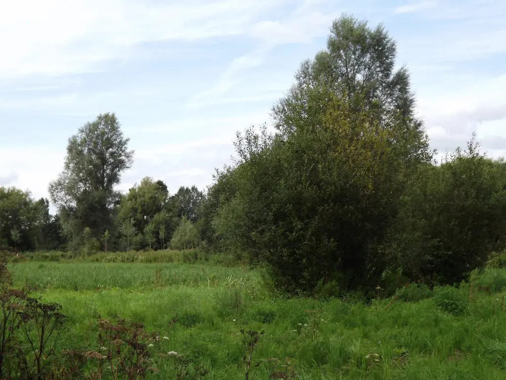
Andersey Island is a 273-acre island of flood meadow south-east of Abingdon Bridge in Oxfordshire, the second-largest island on the non-tidal Thames. It is formed by the Swift Ditch, an old channel of the river that may once have been its main course.
Landscape
The island lies in Culham parish, opposite Abingdon across the main river. The A415 crosses it on a causeway, and the Thames Path runs over it. Islands in the Thames are called aits or eyots, from the Old English for a small island.
History

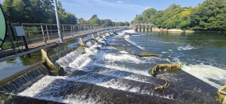
The Swift Ditch, a natural cut-off of a meander, may have been the main navigation channel in the Middle Ages, until the monks of Abingdon Abbey diverted traffic past the town. A pound lock built on the Swift Ditch in the 1630s is one of the earliest on the Thames, and its remains can still be seen. The island has been weir-controlled since at least the 1800s.
A pound lock built on the Swift Ditch in the 1630s is one of the earliest on the Thames, and its remains can still be seen.
Visiting
Andersey Island can be explored on foot along the Thames Path from Abingdon Bridge. You can collect Andersey Island as a landing in your Island Passport.
Wildlife and area

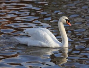
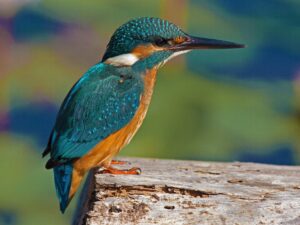
The river around the island is home to mute swans, grey herons, kingfishers and great crested grebes, and Daubenton’s bats hunt low over the water at dusk. Nearby islands include Nag’s Head Island, Lock Wood Island and Fiddler’s Elbow.
Wildlife
5 species recorded on the island
Highlights


All wildlife
Loading all 5 species…
Nothing on the list is usually seen this month.
Recordings from Wikimedia Commons, under Creative Commons licences; hover a Listen button for the recordist. Sightings are records shared with GBIF since 2000.