
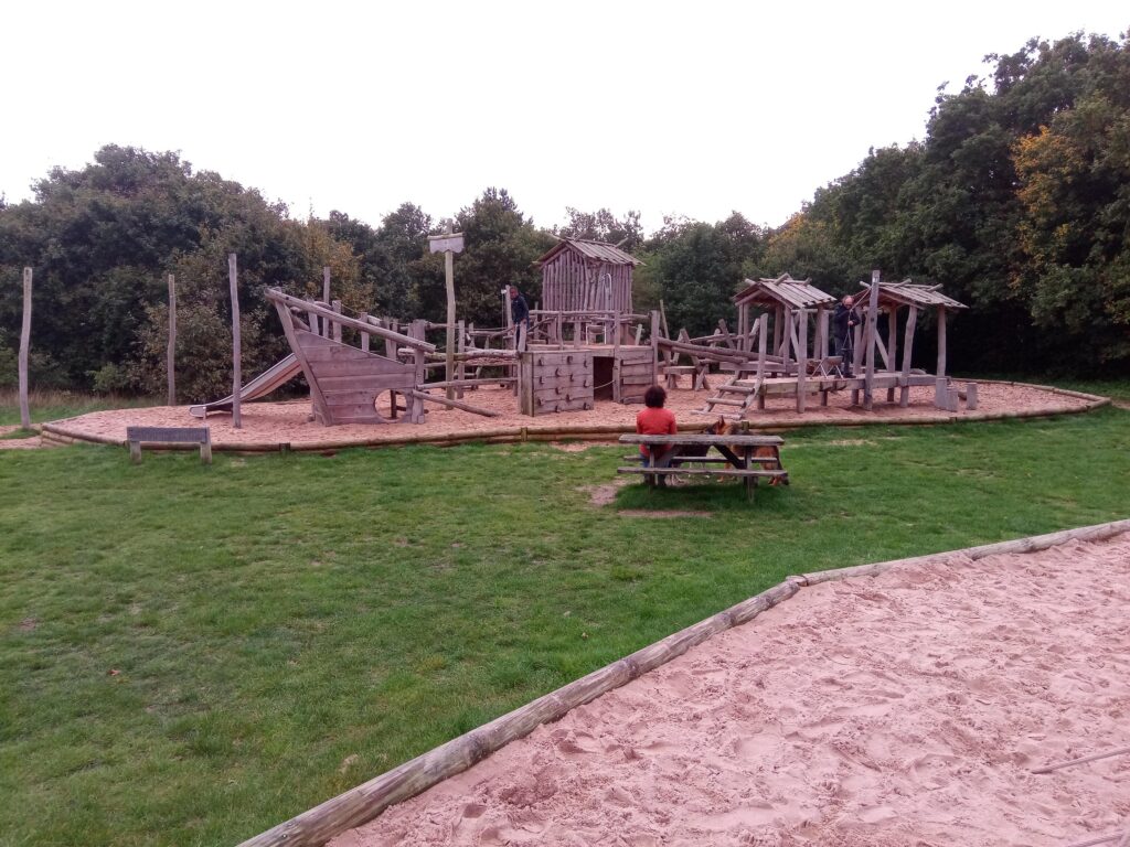


Mersea Island
Island Passport
Collect Mersea Island
Be the first to collect it
Tidal island. Stamps are never worth a risky crossing. Check official safe crossing times and local signs before walking out.
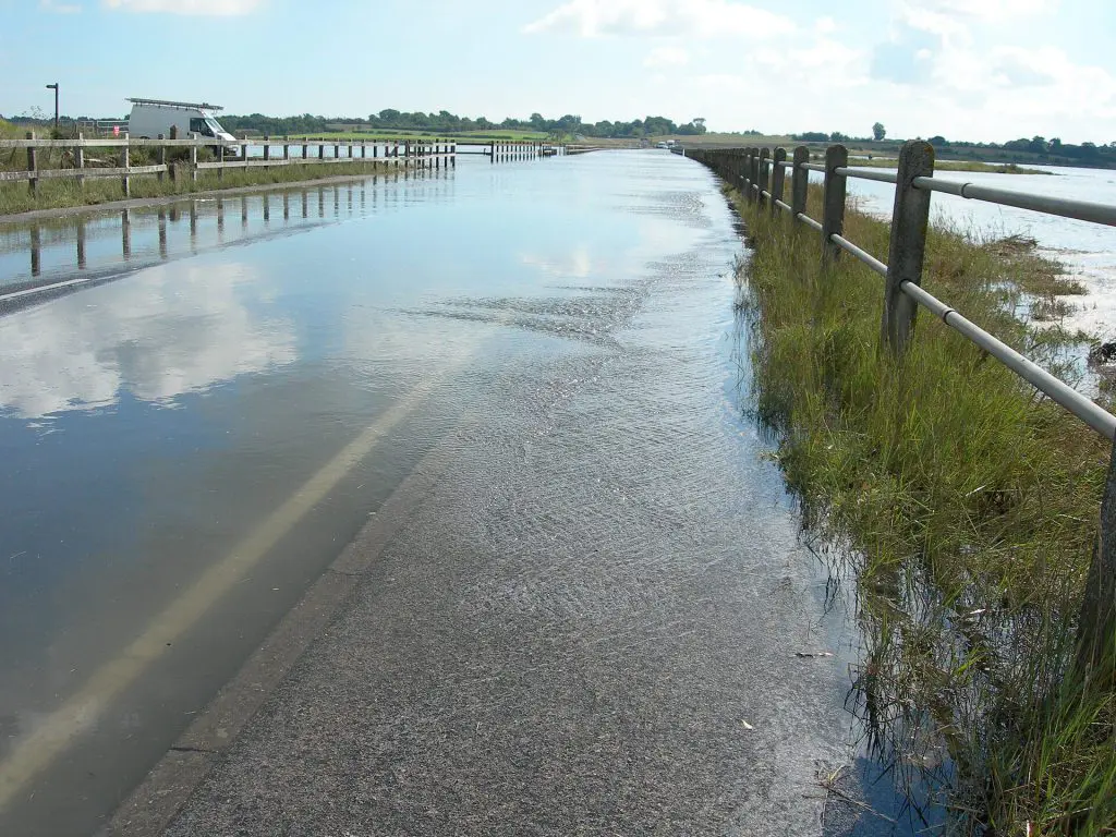
Mersea Island is a tidal island in the estuaries of the Blackwater and Colne rivers in Essex, about 14 kilometres south of Colchester. It covers some 4,450 acres and is home to around 7,000 people, most of them in the town of West Mersea. Joined to the mainland by the Strood, an ancient causeway that floods at the highest tides, it is the most easterly inhabited island in the United Kingdom. Mersea is famous for its oysters, its sailing and its beach huts, and for its quiet saltmarshes full of birds.
Its name comes from the Old English meresig, ‘island of the pool’, so ‘Mersea Island’ says ‘island’ twice.
Landscape
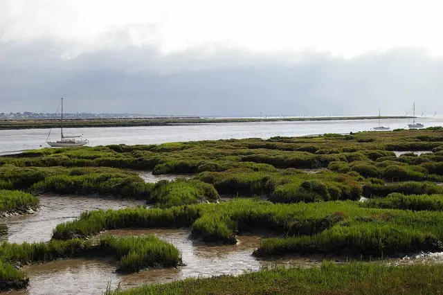
The island is divided between West Mersea, with its houses, harbour, jetty and seafront, and East Mersea, which is mostly farmland. The south coast faces the Blackwater estuary, with long beaches that dry out at low tide and, across the water, the former Bradwell nuclear power station. To the north and west the island is cut off by the Pyefleet and Strood channels, bordered by wide saltmarshes and mudflats, part of a protected estuary that is internationally important for wintering wildfowl and waders. The cliffs at East Mersea yield fossils from the Ice Age, including the bones of animals such as hippopotamus that once roamed the area.
History

People lived on Mersea before the Romans, and the ‘red hills’ of burnt earth left by their salt making can still be found. In Roman times the island seems to have been a favourite retreat for wealthy families from Camulodunum, now Colchester, and the Mersea Barrow, a large Roman burial mound in East Mersea, contained a lead casket with cremated remains. Oysters have been harvested here since at least Roman times, and the trade remains central to the island’s identity.
The church of St Peter and St Paul in West Mersea stands on the site of a seventh-century church, and St Edmund’s in East Mersea dates from the twelfth or thirteenth century. With its creeks and marshes, the island was a haven for smugglers from the sixteenth to the nineteenth century. In both World Wars it guarded the approaches to the Colne and Blackwater, and pillboxes and observation posts still dot the shore; one has been turned into a beach café.
Mersea Week, held every August, is one of the oldest sailing regattas on the east coast.
Places to visit
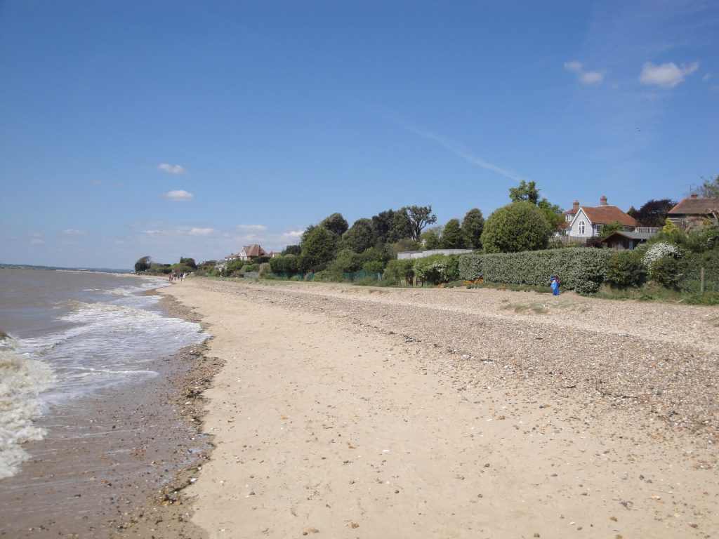
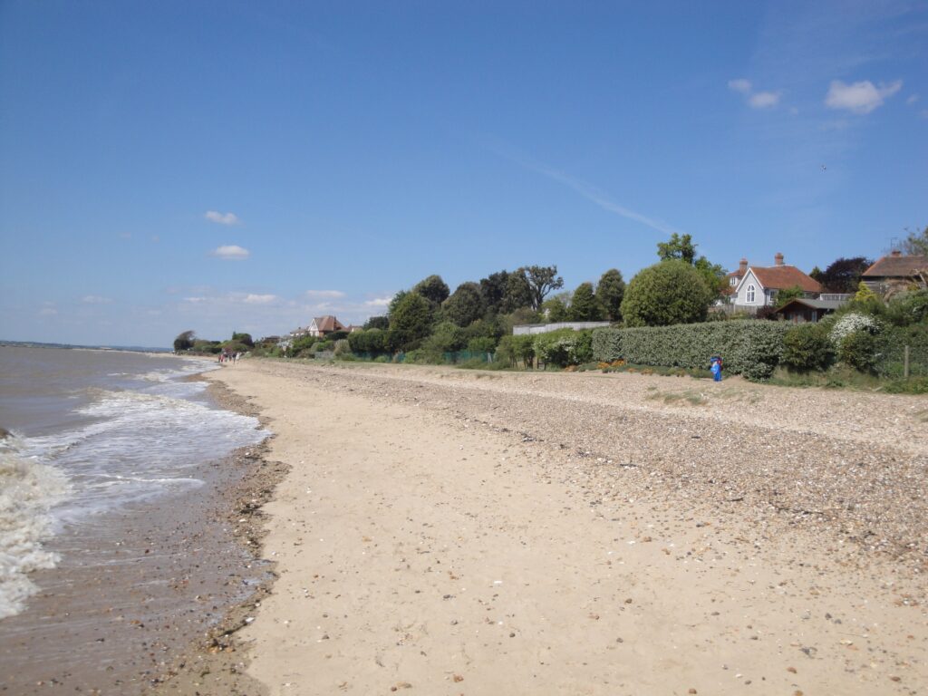
West Mersea’s waterfront, with its fishing boats, oyster sheds and seafood restaurants, is the heart of the island, and the ‘Old City’ area around the harbour keeps a cluster of historic weatherboarded buildings. The Mersea Museum tells the story of the island’s fishing, sailing and people. The beach and its brightly painted huts stretch along the south coast. At the eastern end, Cudmore Grove Country Park has a sandy beach, grassland, cliffs and a sea wall, with fine views of the Colne estuary and its birdlife. Mersea Week, held every August, is one of the oldest sailing regattas on the east coast.
Getting there and around
The B1025 crosses the Strood causeway from the mainland, but at the highest spring tides the road can be covered by the sea for an hour or so, so it is worth checking tide times before travelling. Buses run regularly between Mersea and Colchester, which has the nearest railway station. In summer, a small foot ferry links Mersea with Brightlingsea and Point Clear across the Colne.
Island life

Farming, fishing, oyster farming, boatyards and tourism are the island’s main businesses, and its six caravan and camping parks fill up in summer. The Colchester oyster fishery, still opened each September by the Mayor of Colchester, has a history going back centuries, and the creeks around Mersea remain one of the country’s best-known oyster grounds. In winter, the marshes are home to thousands of brent geese and wading birds.
Wildlife
Among the wildlife most often recorded on Mersea Island are Adder, Green Woodpecker, Marsh Harrier, Brent Goose, Slow Worm and Jay. See the Wildlife tab for the full list of 129 species and when to see them.
Tides
Now
—
Next high water
—
Next low water
—
Not for crossing. These are modelled tide heights, not safe crossing times. Tidal causeways and sands can flood quickly: always check the official safe crossing times and local signs before walking out.
Heights in metres relative to mean sea level; times are UK time. Not for navigation. Tide model: Open-Meteo (CC BY 4.0).
How to get to Mersea Island
You can reach Mersea Island on foot.
On foot, over the causeway
You can walk to Mersea Island at low tide. The way across floods quickly as the tide turns: check the safe crossing times and local signs, and never cross on a rising tide.
Plan your trip
Timetables change, so always check with the operator before you travel. We may earn a commission if you book through some of these links, at no extra cost to you.
Wildlife
132 species recorded on the island
Highlights


All wildlife
Loading all 132 species…
Nothing on the list is usually seen this month.
Recordings from Wikimedia Commons, under Creative Commons licences; hover a Listen button for the recordist. Sightings are records shared with GBIF since 2000.
Watching wildlife responsibly. Keep your distance from seals, seabird colonies and cetaceans, stay quiet, and never feed or chase wildlife. See the WiSe Scheme guidance for watching marine wildlife.